Investigations and analysis
Investigating conflict, influence operations and hidden networks using satellite imagery, geospatial analysis and open-source evidence to establish what happened, where and when, and who was involved.
Finding who, where, when and what. I investigate conflict, influence operations, hidden networks and emerging threats using satellite imagery, maps and digital investigative techniques.
Former Director of Investigations at CIR · former BBC Africa Eye · Bellingcat contributor · co-founder of the Ocelli Project
Investigating conflict, influence operations and hidden networks using satellite imagery, geospatial analysis and open-source evidence to establish what happened, where and when, and who was involved.
Building tools, datasets and investigative workflows that combine open source information and automation to reduce repetitive research, identify patterns and make difficult investigative problems easier to solve.
Helping investigators and organisations build stronger capabilities through training, advisory work and clear communication of complex investigative methods and findings.
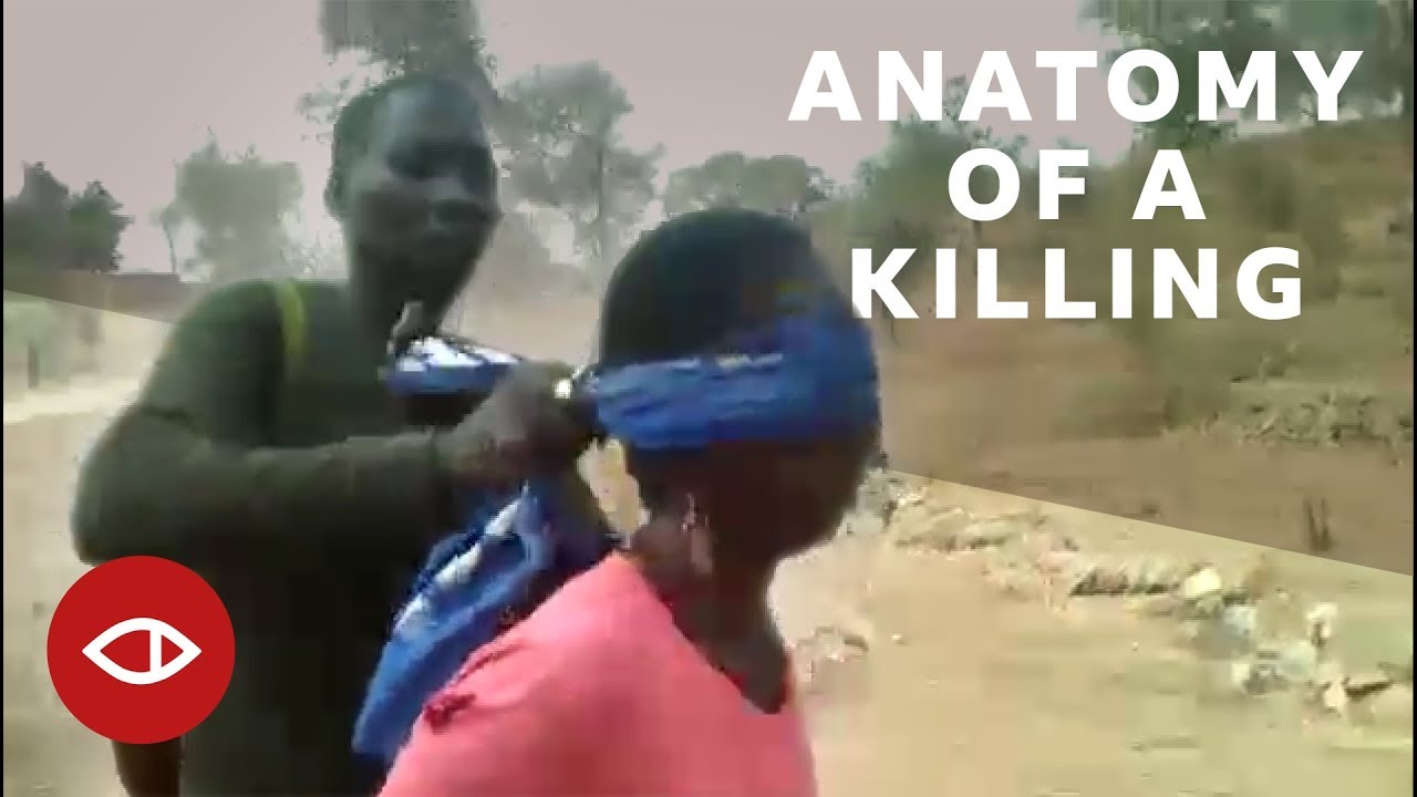
Part of a team that identified the soldiers, the site and the date of a mass execution in Cameroon from a single video, leading to convictions.
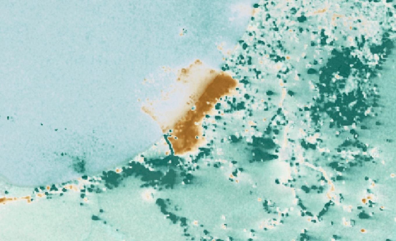
BBC Africa EyeBuilt a free tool that turns nighttime satellite data into an investigation layer, measuring blackouts, destruction and recovery.
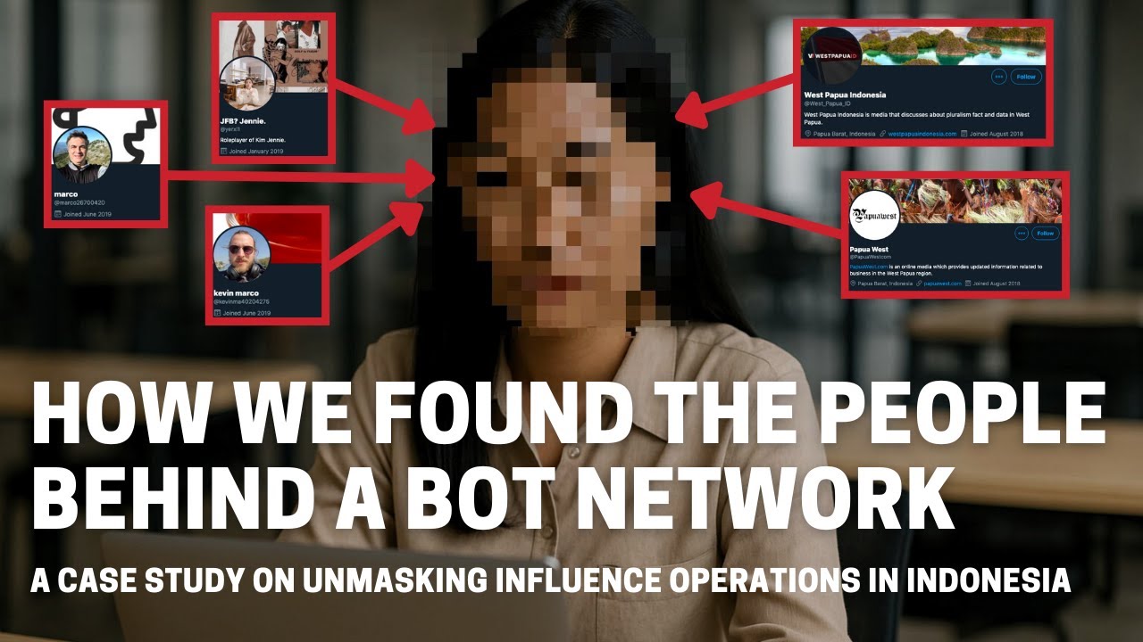
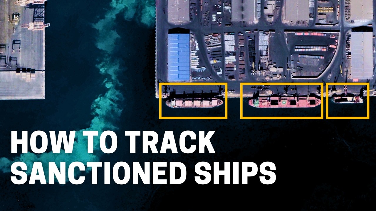
ToolTraced a cross-platform influence network to the people running it, leading to takedowns by Facebook and Twitter.
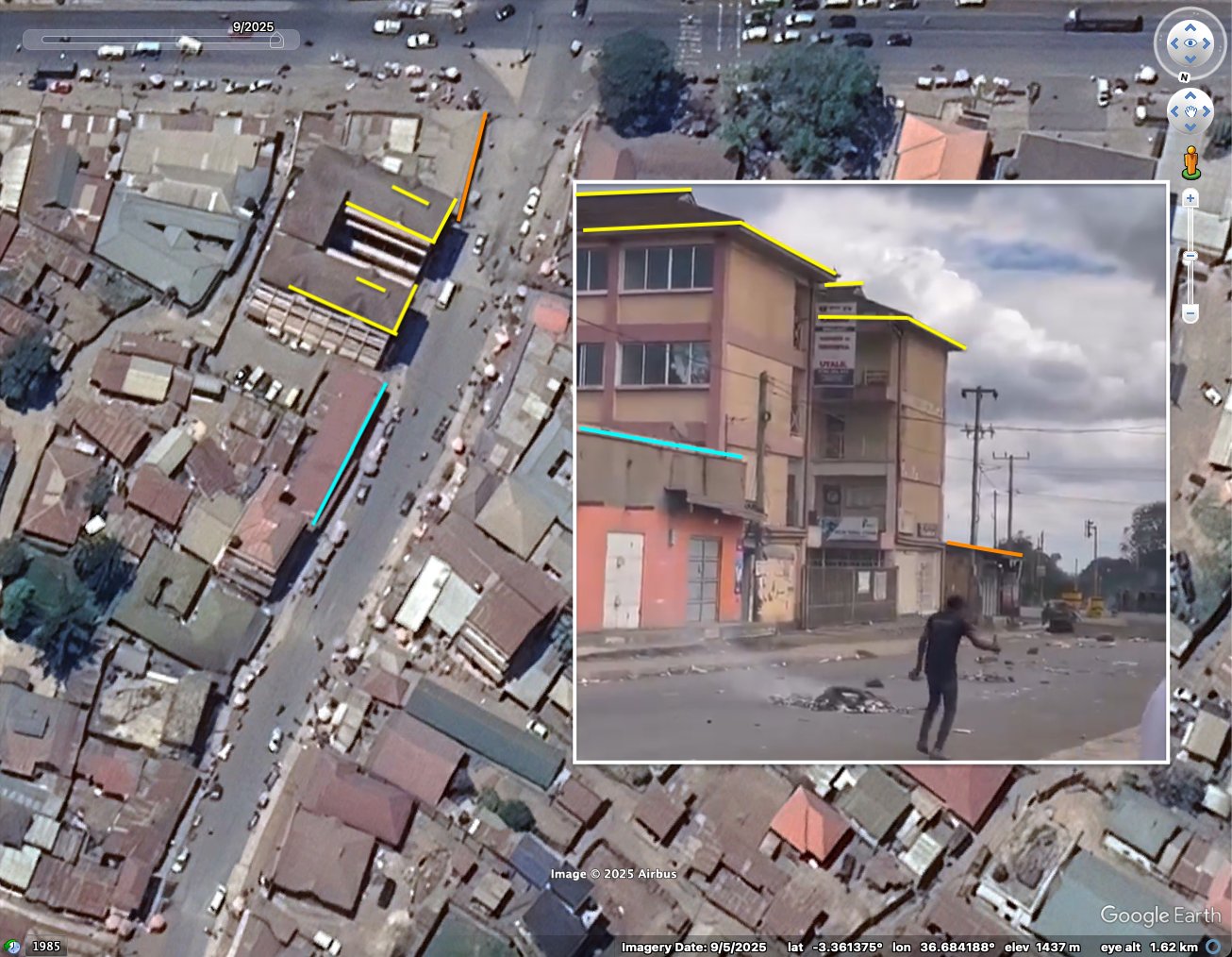
InvestigationVerified and geolocated footage of police firing on protesters during a deadly election period.
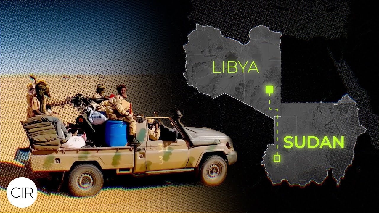
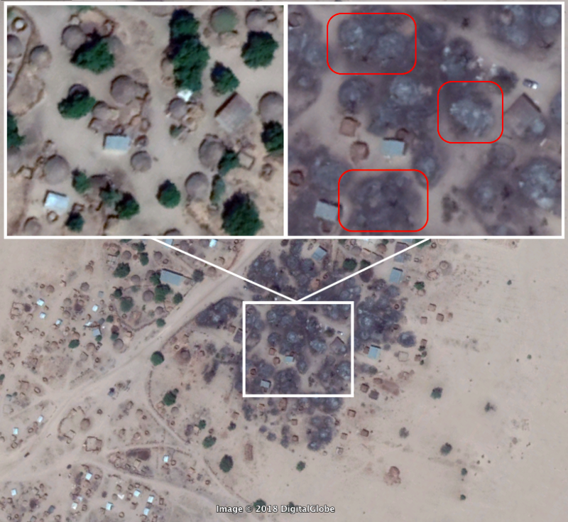
CNNPart of a team tracking human rights abuses and burned villages across Darfur through satellite imagery and open-source investigation.
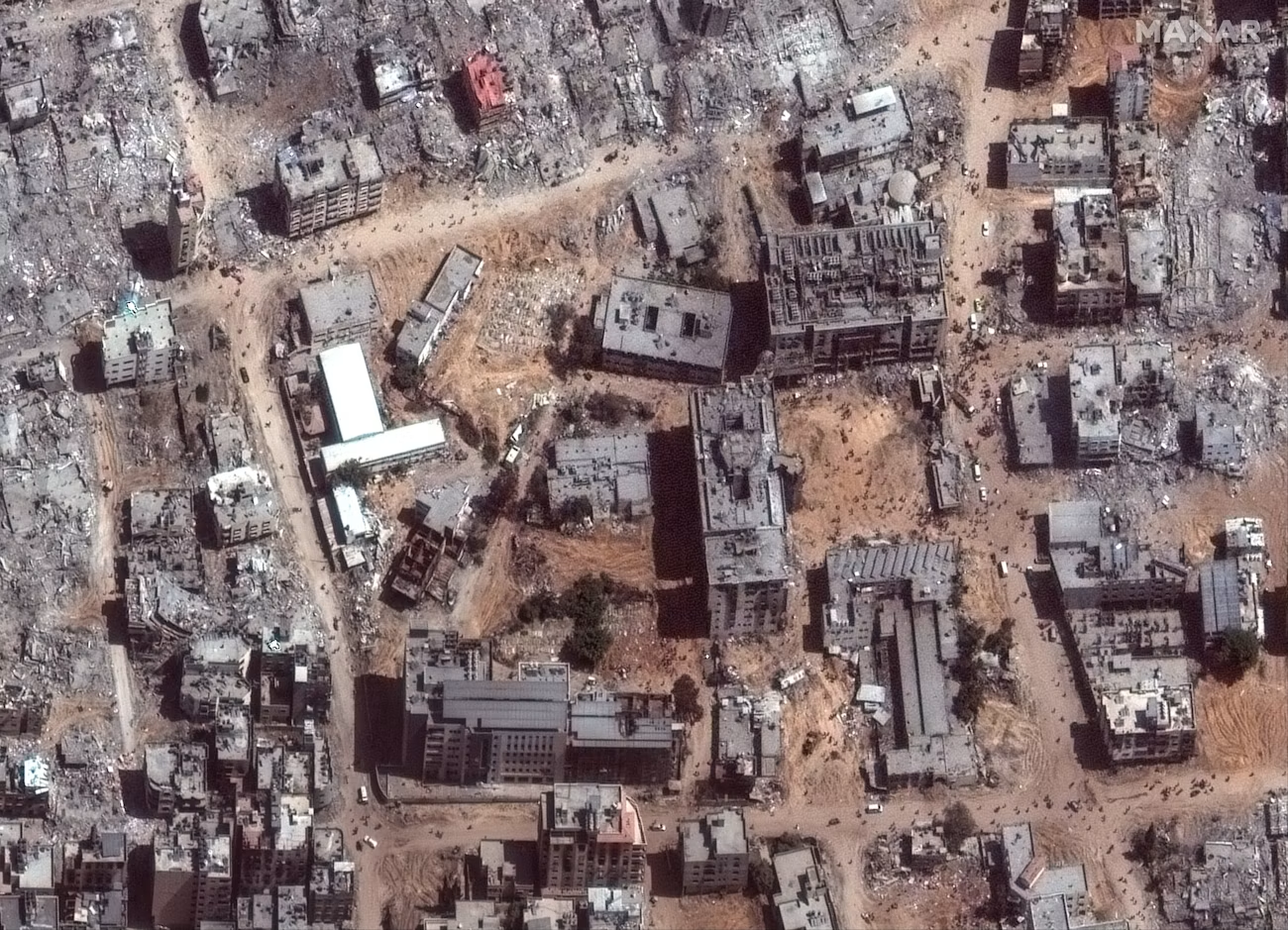
Case studyOversaw the creation of a public map of verified, geolocated incidents across Palestine, Lebanon and Israel, built entirely from open sources.
CIR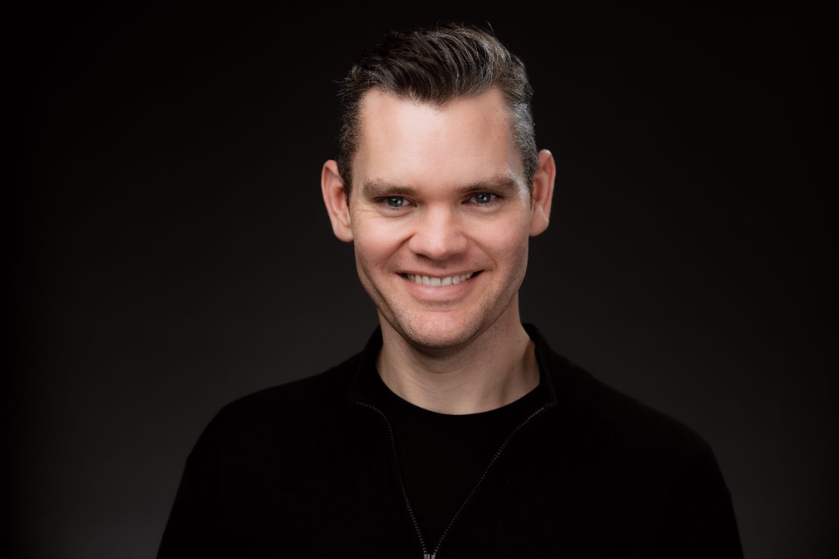
Benjamin Strick is an open-source investigator with a background in law, investigative journalism and the military. He specialises in conflict documentation, influence operation attribution and geospatial investigation, working across satellite imagery, geolocation and network analysis.
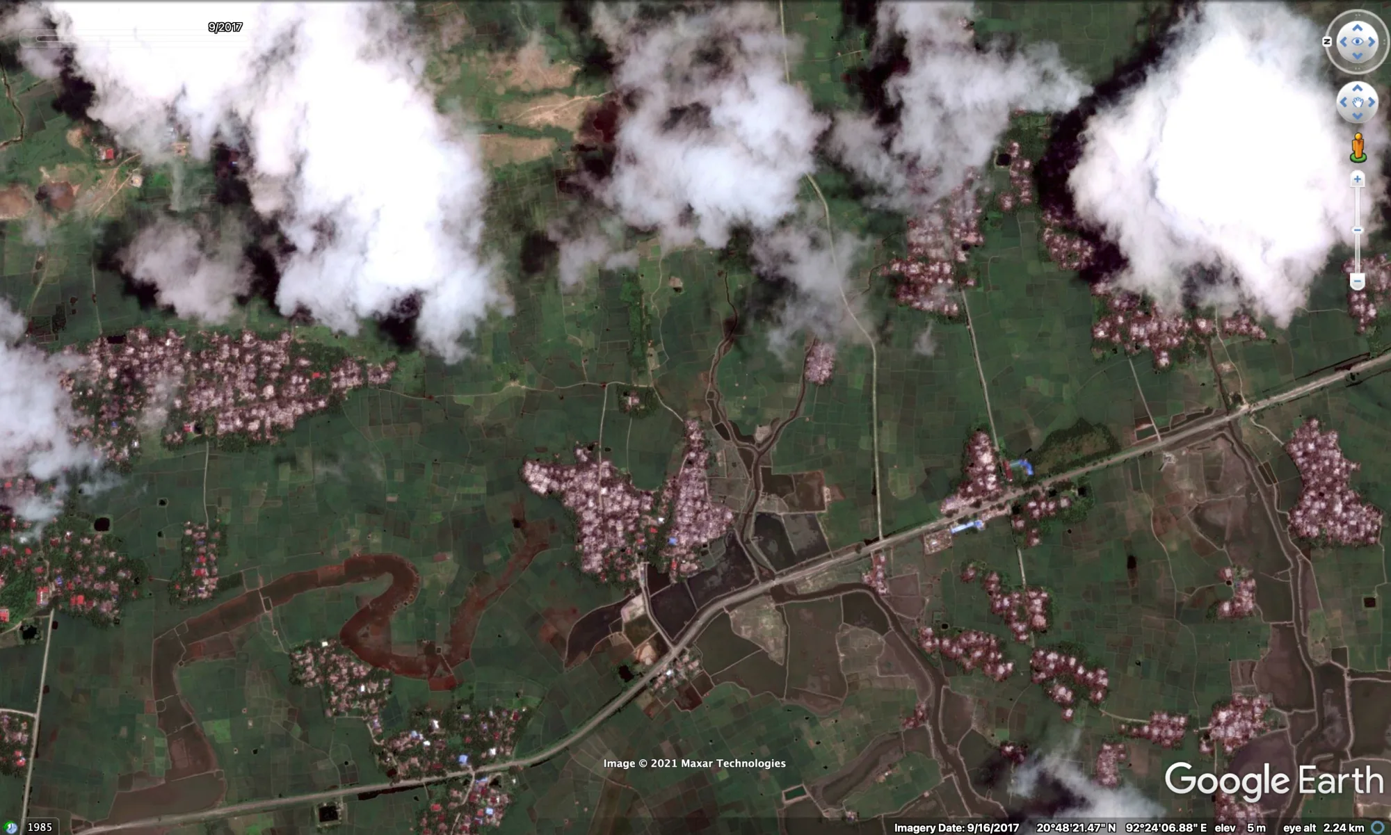
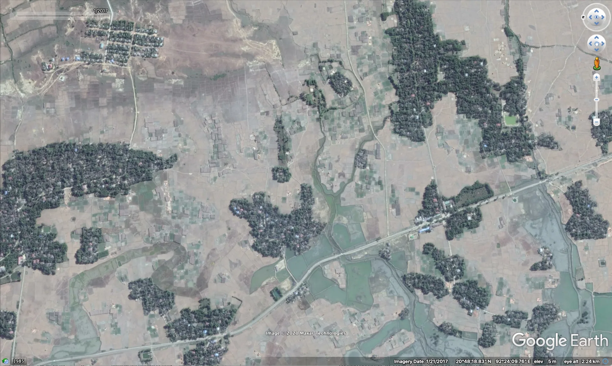
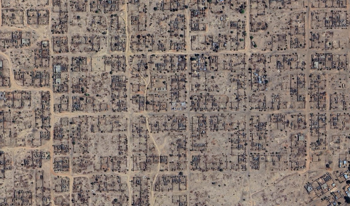
From 2021 to 2026 he was Director of Investigations at the Centre for Information Resilience, leading investigative work across Ukraine, Myanmar and Sudan and building the workflows and evidence standards behind it. He was previously a digital investigator with BBC Africa Eye, contributing to the Peabody-winning Anatomy of a Killing and Sudan’s Livestream Massacre, and co-founded the Ocelli Project, which turned satellite evidence of destroyed settlements in Myanmar into a structured investigative system now used in accountability work.
He has stayed hands-on throughout, geolocating evidence in a Ukrainian war crimes case verified by CNN and tracing the network behind a West Papua influence operation. He was named OSINT Champion of the Year in 2021 and teaches to more than 100,000 subscribers on YouTube.
Read the full biography →For investigations, hands-on advisory work, training, speaking and media enquiries.
The address opens in your mail app. It is kept out of the page to stop scrapers.