Geospatial awareness: how to add geodata to Google Earth Pro, and four datasets you should try
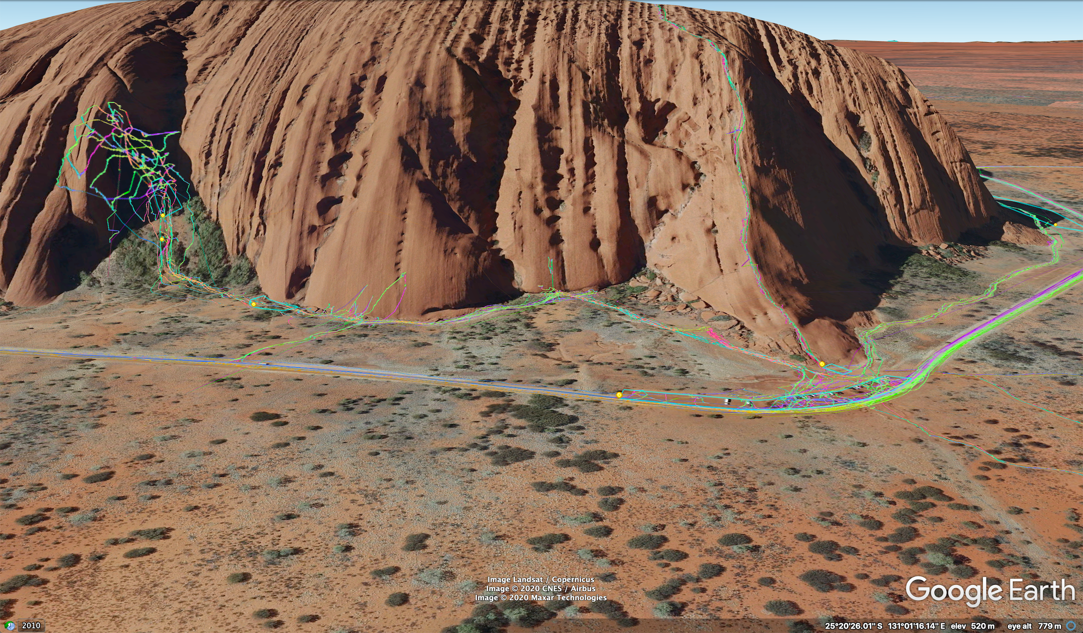
This post is a list of geospatial datasets to drag into Google Earth Pro, such as NASA daily fires and Wikimapia. I have found these useful in conflict analysis and routine geolocation work as they boost what information is achievable with the Google Earth Pro platform.
Google Earth Pro is great when it contains useful geotagged data, whether it be through custom-made satellite imagery annotations (such as powerline markings over Libya for geolocation purposes) or geospatial data taken from publicly available datasets.
But how do we pull extra data into Google Earth and what are some useful datasets to help you with satellite imagery analysis, geolocation and storytelling? I am going to run through that in this post, as well as provide a list of files to add to your Google Earth Pro to increase your geospatial awareness and how to find more of them.
What will you find in this post?
- A primer on Google Earth Pro
- How to find KML geo-datasets to "drag" into Google Earth Pro
- Four geo-based datasets you should try in Google Earth Pro
- Security considerations for using KMLs
A primer on Google Earth Pro
Google Earth Pro is one of the most useful tools in performing any geospatial task, whether it be for conflict analysis, remote sensing, investigative journalism or routine geolocation tasks.
For those of you that might be new to the software, I am talking about the desktop version. Not the one that you use in a browser. If you are following along, you can download Google Earth Pro here.
If we zoom in on Uluru (Ayers Rock) in Australia, we can get an understanding of the volume of extra data already in Google Earth’s primary database.
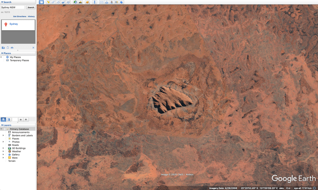
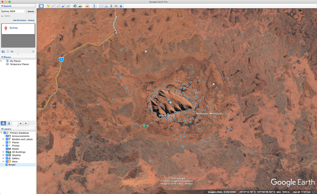
All of these data points have information related to the area geotagged to a specific place. These could be labels, images and other formats of data. For open source investigators, researchers and curious minds, this is useful as it gives us an understanding of what Uluru looks like on the ground from photos.
So what if we layer that with information not generally available in Google Earth Pro, such as an open source database of geotagged locations, Google Maps labels and publicly available GPS data?
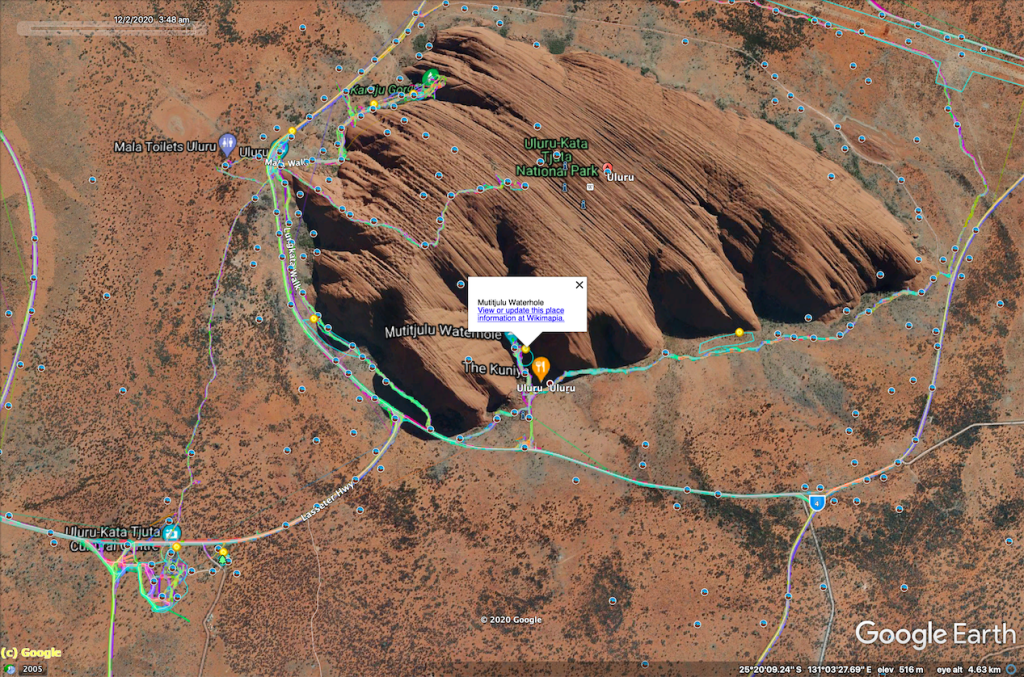
As you can see, we get more information appearing on the map. Much more than what we would have had we been relying solely on Google Earth’s in-built features.
So where did I get those external packets of data? They are external KML and KMZ files. KML, or Keyhole Markup Language, is a spreadsheet annotation for geographic-based data. The important question is, how can you find more of them, tailored to your specific need or investigation.
How to find KML geo-datasets to drag into Google Earth Pro
Finding KMLs to add geospatial awareness to your Google Earth is quite simple. One method is to try the advanced search term below in Google with any subjects you are looking for. In this example I have chosen to look for London Underground Tubewalk.
What we have done there is created a search string for all KML files, indexed on Google, with the term London Underground Tubewalk. With queries that have a lot of results, we can restrict that to sift out old data by changing the "tools" and "any time" tabs on Google search.
In the results, you will notice a list of KML files. All we do is download it and drag it into the "places" section of Google Earth Pro.
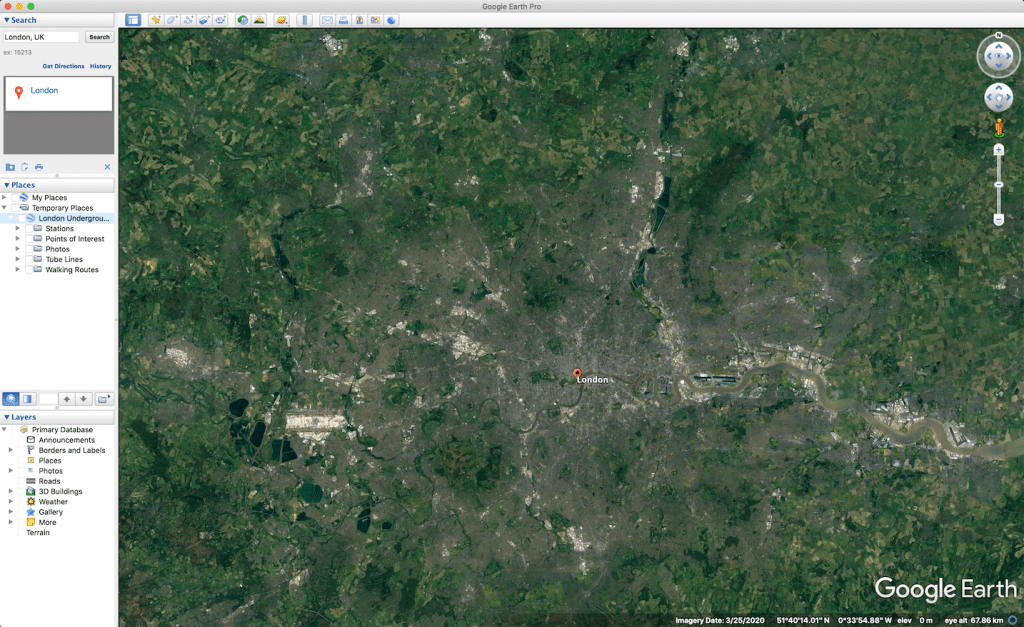
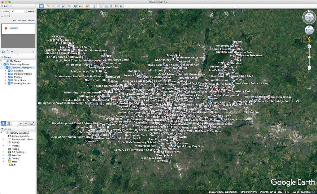
Each one of these nodes and their connecting points is user-generated material. Each point is either a path, unique image or context about the location it is tagged at. As we can see, we have even got Paul McCartney’s house.
If you are still wondering why this might be useful, there are a number of applications for this sort of data and a number of subjects where KML files are available through search engines. You might be a researcher on bald eagle migration, spider populations, deforestation in the Amazon, law enforcement or documenting conflict in Libya. All of these roles will have the need for extra packets of information.
Four geo-based datasets you should try
#1 Wikimapia. For anyone that performs analysis using maps, you will be familiar with Wikimapia, the open source map reference system. This KML file is specifically useful in areas that are less mapped on Google Maps. I have often found it to be a resource in conflict areas, as it provides more details as to place names and areas than other annotated maps. Wikimapia’s KML is quite powerful when used in conjunction with Liveuamap’s custom KML files of layered conflict lines and events which can be exported out of the browser and into Google Earth.
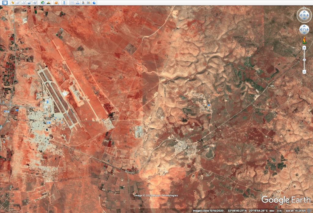
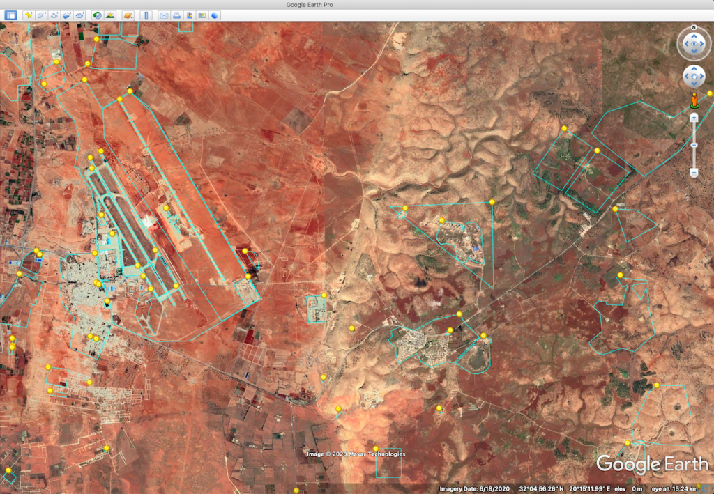
#2 Bing/Microsoft Maps. At times during routine geolocation work, without commercial imagery, I have found there is either very little coverage, or the imagery is blurred. Another medium of imagery that is freely available to use in Google Earth is the Bing Maps satellite overlay. The website that offers a good browser for that is Zoom Earth. To use this KML, from the linked page, use the drop down list and select "Windows Live Satellite".
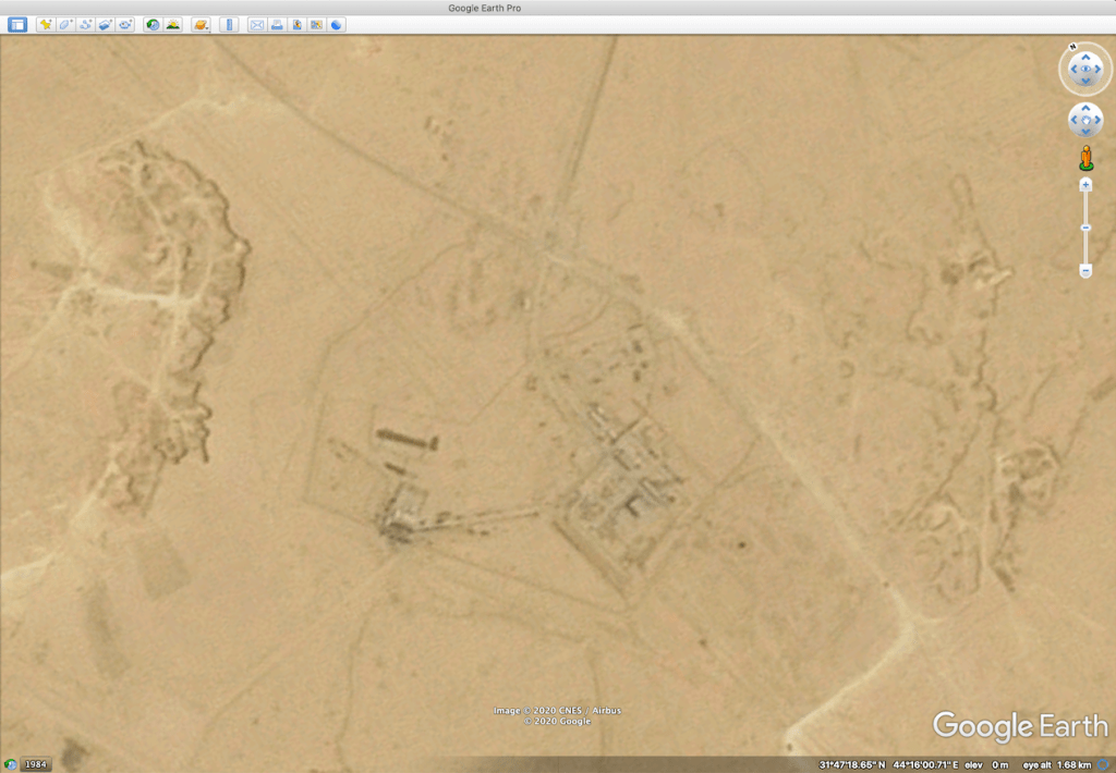
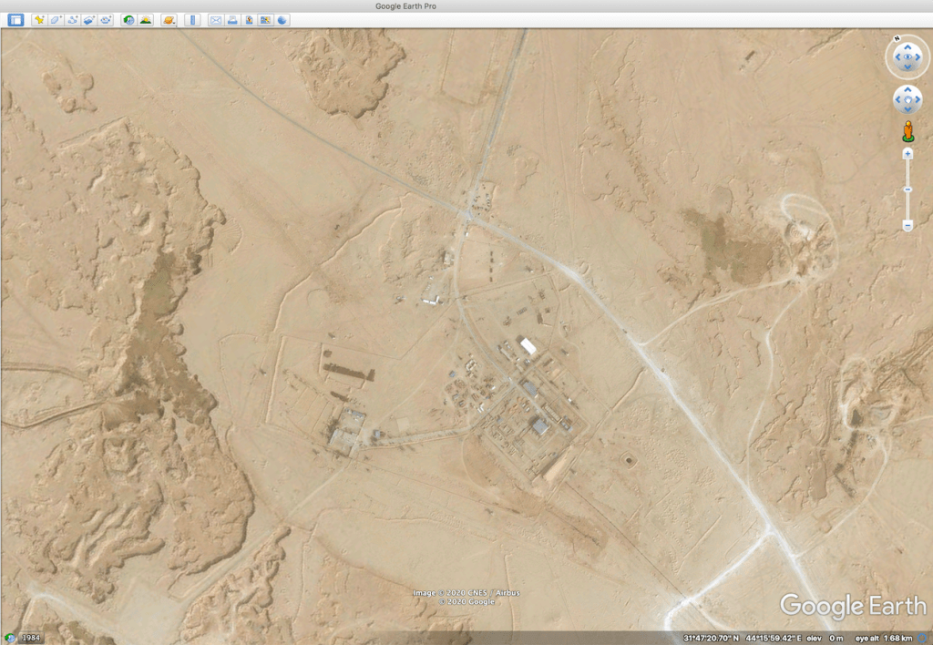
#3 Google Maps Labels. At times, Google Earth does not have the same level of detail for streets and places as Google Maps provides. A way around that is to drag in the labels system from Google Maps into your earth explorer. Select "Google Hybrid (Labels)" for the KML. This is also useful as you can layer this over either commercially bought imagery, or imagery from Bing Maps.
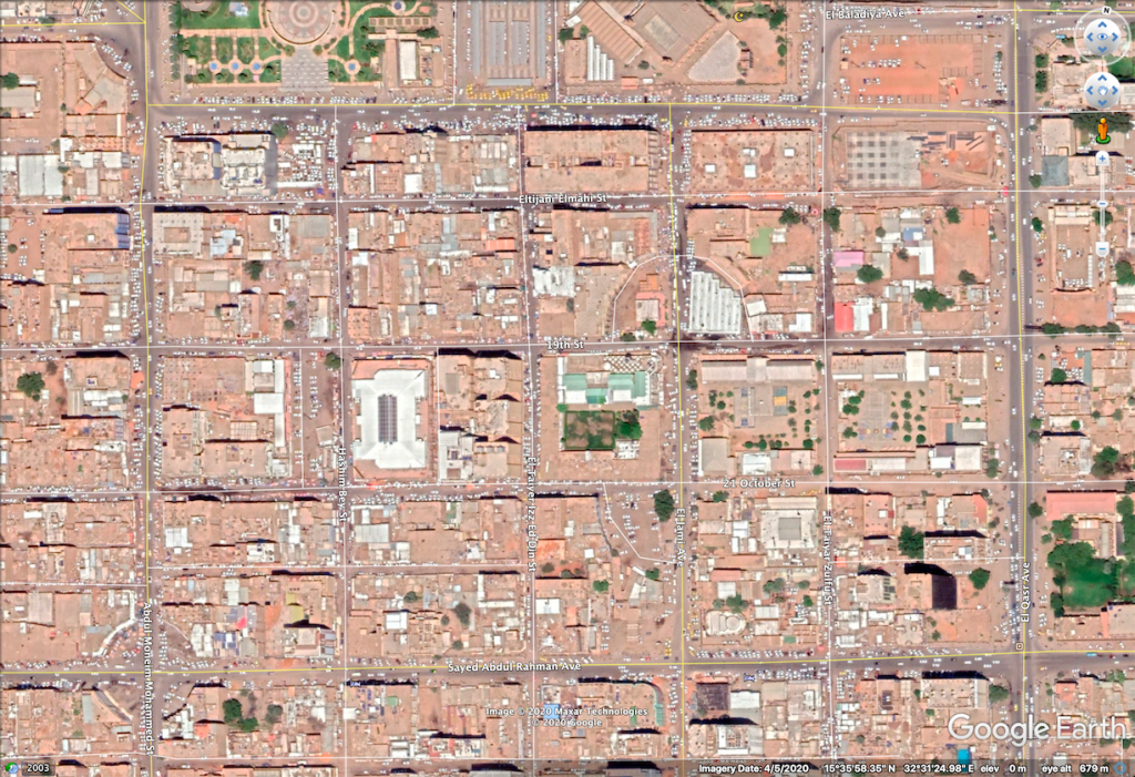
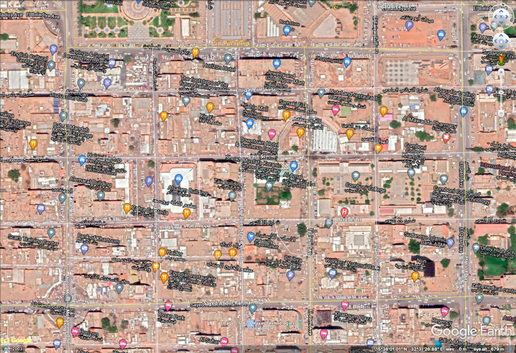
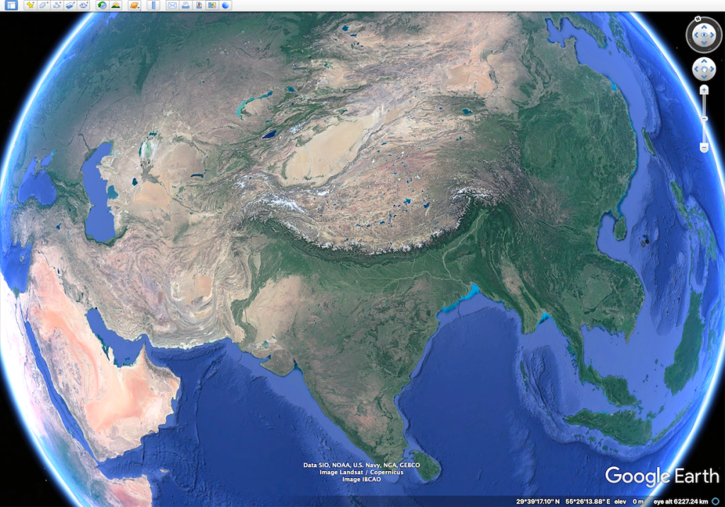
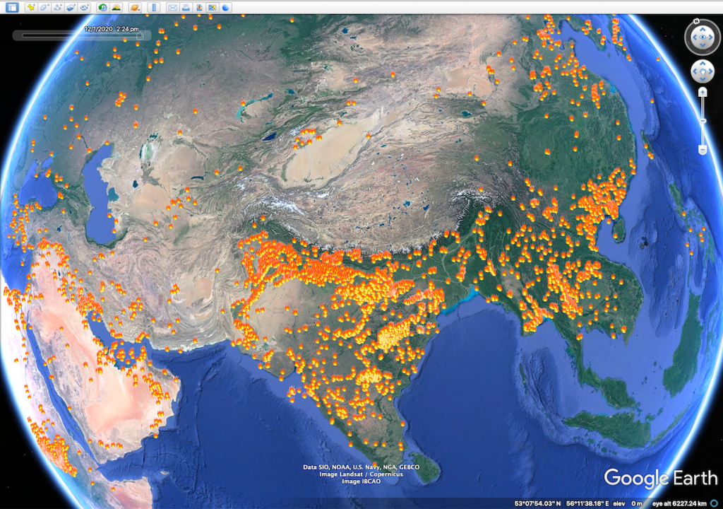
#4 EOSDIS Fire Points List. A more niche subject is spotting where fires may have occurred, especially in conflict areas as they can indicate signs warranting further research. I have previously produced guides on how burnt villages can be detected through satellite filters here as well as case studies on buildings being burnt where security forces have been known to do so.
One way to monitor these activities in a wide field perspective is to use fire spotting systems such as NASA’s Worldview platform. This is also a useful tool for environmental monitoring for forest fires, back-burning and climate patterns. This system is available on EOSDIS Worldview Earthdata. It draws information from satellite sensors that detect daily fires. The data can be used in Google Earth and matched with other datasets such as ACLED reports and Sentinel Hub’s fire identification feature to spot burnt areas.
This is not an exhaustive list of KMLs, but rather these are ones that I have personally tested and find useful in documentation. There are likely more, and I urge you to search for them.
Security considerations with KML files
Some of the research performed using Google Earth Pro may be potentially sensitive, so reading up on any considerations and threat research is paramount.
There are two vulnerabilities that have been identified in past versions of Google Earth Pro in relation to the use of KML and KMZ files, and while they may have already been identified and subsequent versions of the system have issued patches, it is a good reminder to query the source of any dataset before its use in software.
CVE-2010-3134 identified a vulnerability in Google Earth where remote attackers could execute arbitrary code via a trojan horse located in the same folder as a KMZ file. This could lead to a potential hijack attack. A further vulnerability was identified in CVE-2006-7157 whereby attackers could cause a denial of service crash through a KML or KMZ file.